Title: Monument to Muleteers
Description: Located at 1250 m altitude the monument is a tribute to muleteers who, mounted on mules and horses, from 1870 made exchange between products of the mountainous region and the coast. It is placed on the curve of the Rio do Rastro Cascade between the cities of Lauro Müller and Bom Jardim da Serra. The sculpture is a work of the artist Nelson Neves Matias from São Joaquim city, and depicts a muleteer accompanied by five mules loaded with bruacas (bags of rawhide).
Local: Lauro Müller, Brazil
Date of Registration: 08/03/2013

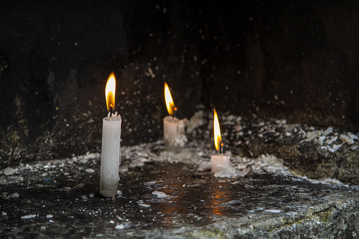
Title: Candles
Description: Faith and religiosity in oratory located near SC 390 highway on Rio do Rastro mountain range.
Local: Lauro Müller, Brazil
Date of Registration: 07/04/2012

Title: Oratory
Description: Located next to Saint Raphael Chapel at Novo Horizonte Community near SC 390 highway.
Local: Lauro Müller, Brazil
Date of Registration: 07/04/2012

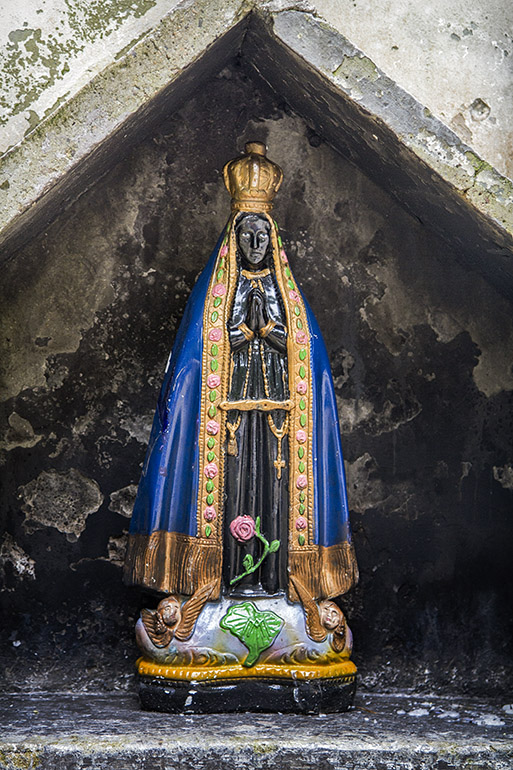
Title: Oratory with a image of Our Lady Aparecida
Description: Located near SC 390 highway on Rio do Rastro mountain range.
Local: Lauro Müller, Brazil
Date of Registration: 08/03/2013

Title: Oratory
Description: Located near SC 390 highway on Rio do Rastro mountain range.
Local: Lauro Müller, Brazil
Date of Registration: 08/03/2013

Title: Oratory
Description: Located near SC 390 highway.
Local: Lauro Müller, Brazil
Date of Registration: 08/03/2013

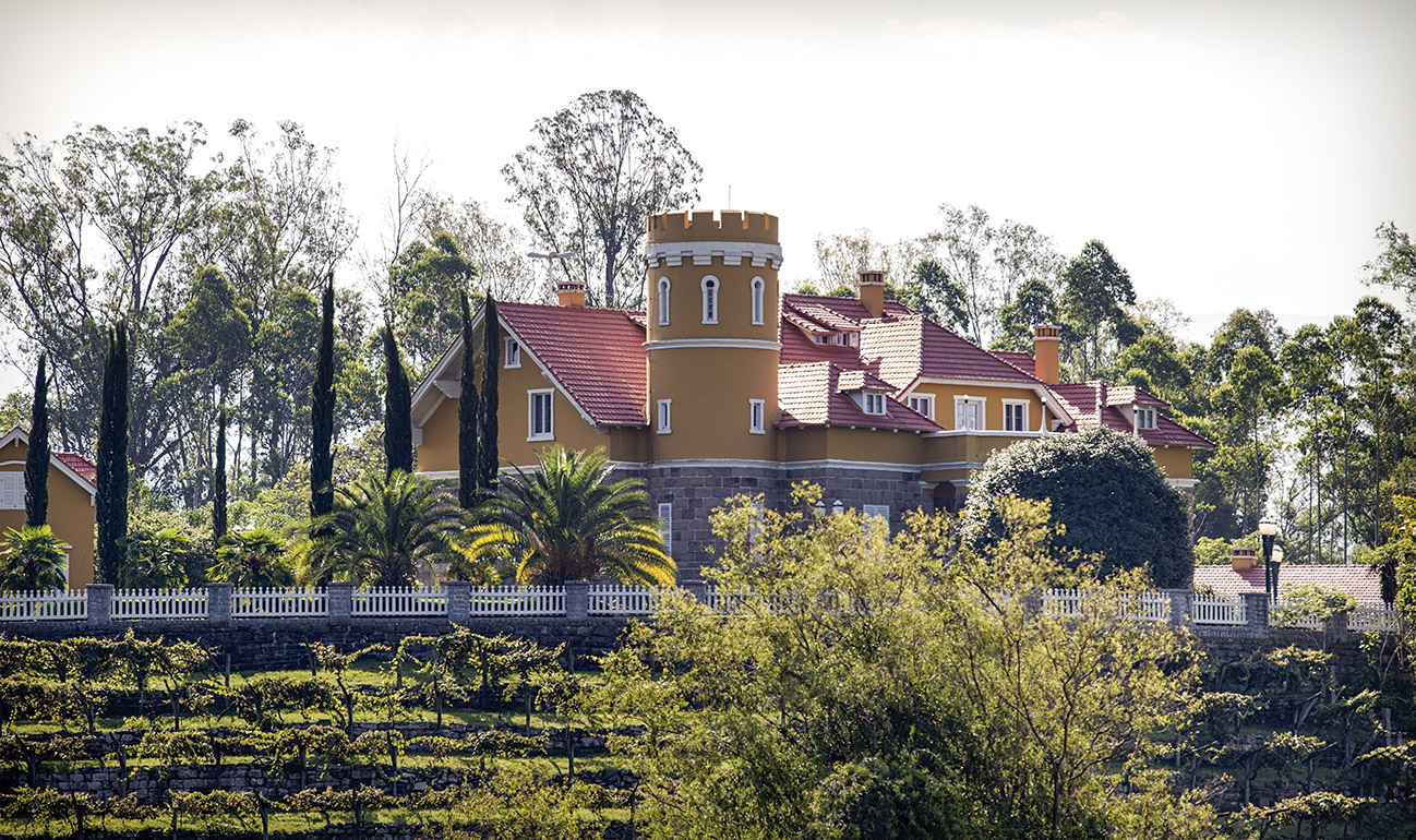
Title: Castle
Description: In 1919 Henrique Lage built this castle for Gabriela Benzanzoni, an Italian opera singer with whom he married. Henrique Lage is considered the main responsible for the development of the steel industry and the exploration of coal in Santa Catarina. Currently this building belongs to the Salvaro family.
Local: Lauro Müller, Brazil
Date of Registration: 13/01/2017

Title: Rio do Rastro mountain range
Description: In the extension of SC 390 highway between the cities of Lauro Müller and Bom Jardim da Serra there is the interconnection of the coastal region and the plains of the south of the State with the plateau of Santa Catarina. There are 15 kilometers of concrete road excavated in natural rock by a canyon of 1460 meters high. The history of this road began as of 1870 with the passage of muleteers mounted on mules and horses that made exchange between products of the mountain region and the coast.
Local: Lauro Müller, Brazil
Date of Registration: 21/10/2012